Fishing Outlook & Conditions
Temp:
63°
Water Temp:
42
Directions open in app
Local Species Available Year Round
-

Rainbow Trout
-
Bull Trout
-
Brown Trout
-
Whitefish
-
Sucker fish
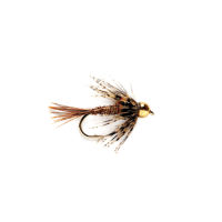
Chad Allen's Recommended Fly Patterns
"Must-have" fly fishing patterns in descending order of importance:
Chad Allen's Recommended Gear
-
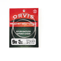
Best Leader:
Super Strong Plus Leaders
-
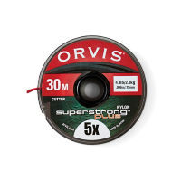
Best Tippet:
SuperStrong Plus Tippet in 30- and 100-meter spools
-
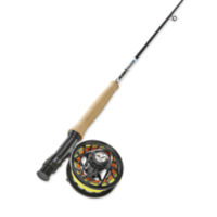
Best Fly Fishing Rod:
5-Weight 9' Fly Rod
-
Best Floating Fly Line:
WF Trout Fly Line
-
Best Sinking Fly Line:
Class V Sink Tip Fly Line